Framed Prints
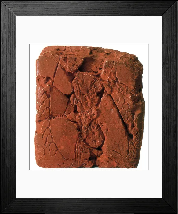
Framed Print of Early Map, Babylonian Clay Tablet, 6200 BC
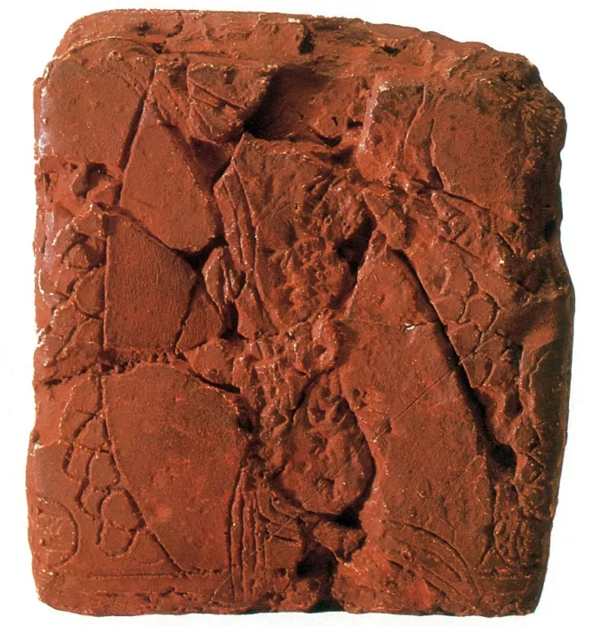
Babylonian clay tablet that has been generally accepted as "the earliest known map" is the artifact unearthed in 1930 at the excavated ruined city of Ga-Sur. The surface of the tablet is inscribed with a map of a district bounded by two ranges of hills and bisected by a water-course. This particular tablet is drawn with cuneiform characters and stylized symbols impressed, or scratched, on the clay. Inscriptions identify some features and places. In the center the area of a plot of land is specified as 354 iku (about 13 acres), and its owner is named Azala. The map is identified as of a region near present-day Yorghan Tepe (Ga-Sur at the time), although the exact location is still unknown. The geographic content consists of the area of a river valley which may be that of the Euphrates flowing through a three-lobed delta and into a lake or sea in the northern part of Mesopotamia. Also shown on this tablet may be the tributary river the Wadi-Harran, the Zargos Mountains in the east, the Lebanon, or Anti-Lebanon in the west, and cities which are symbolized by circles. North, East and West are indicated by inscribed circles, implying that maps were aligned in the cardinal directions then as they are now. This tablet also illustrates the sexagesimal system of mathematical cartography developed by the Babylonians and represents the earliest known example of a topographic map. © New York Public Library / Science Source
Your chosen combination is quickly and professionally made to order, our shipping page has more details
If you are not entirely happy with your items, simply return them to us within 30 days for a replacement or full refund. Please read our full returns policy.
Media ID 47330695
Ancient Archeology Artifact Babylon Babylonian Cartography Characters Civilization Clay Communicating Communication Communications Cradle Cuneiform Early Empire Geography Kingdom Kingdoms Maps Mesopotamia Pictographs Script Stylized Symbols System Systems Tablet Tablets Text Topographic Topographical Topography Writing
Modern Frame 14"x12" (36x31cm)
Ready to Hang Contemporary Framed Prints adds style, protection, and a polished touch to your space - effortlessly.
Your artwork will be printed as shown in the preview. To adjust please select Edit Printed Image under the Buy button
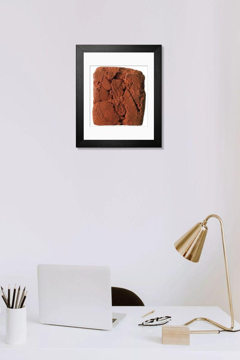
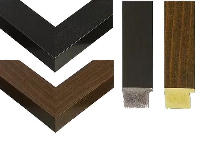
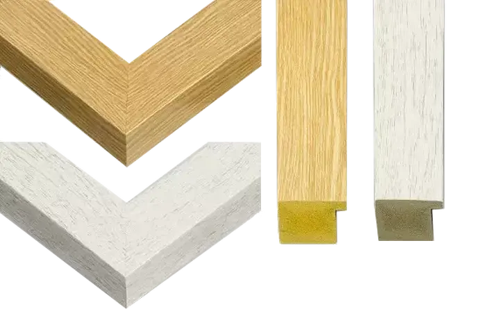
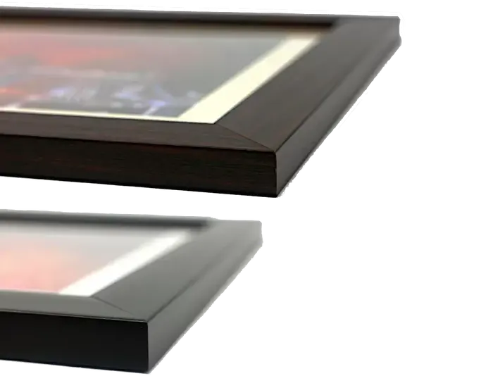
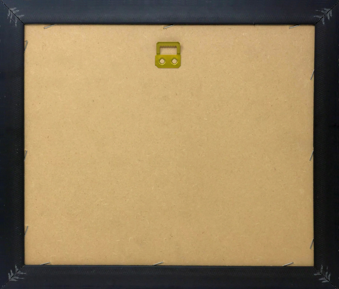
Wood effect frame, card mounted, 10x8 fade resistant photo print. Overall outside dimensions 14x12 inches (36x31cm). Environmentally and ozone friendly, 40mm wide x 15mm Polycore® moulding has the look of real wood, is durable and light and easy to hang. Biodegradable and made with non-chlorinated gases (no toxic fumes) it is efficient; producing 100 tons of polystyrene can save 300 tons of trees! Prints are glazed with lightweight, shatterproof, optical clarity acrylic (providing the same general protection from the environment as glass). The back is stapled hardboard with a sawtooth hanger attached. Note: measurements provided are estimated outer dimensions, which include both the image and the frame. While we aim to keep sizing consistent, exact dimensions may vary slightly due to differences in print size or production requirements, which may result in a variation in the overall size (up to approximately 2.5cm (1"))
These are individually made so all sizes are approximate
Estimated Image Size (if not cropped) is 19.3cm x 20.3cm (7.6" x 8")
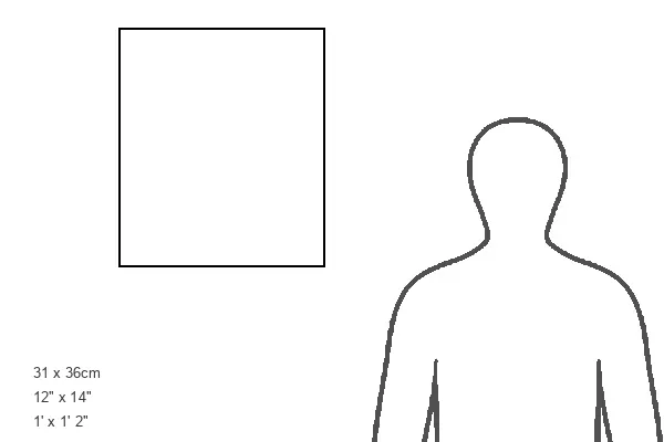
Estimated Product Size is 31cm x 36cm (12.2" x 14.2")